State of Emergency as Typhoon Mekkhala Heads North: Moving Through Taiwan Toward Japan's Okinawa, Raising Fears of Strong Winds and Heavy Rain
A state of emergency has been issued across East Asian regions, including Taiwan and Japan, as Typhoon Mekkhala, the seventh typhoon of the season, maintains it
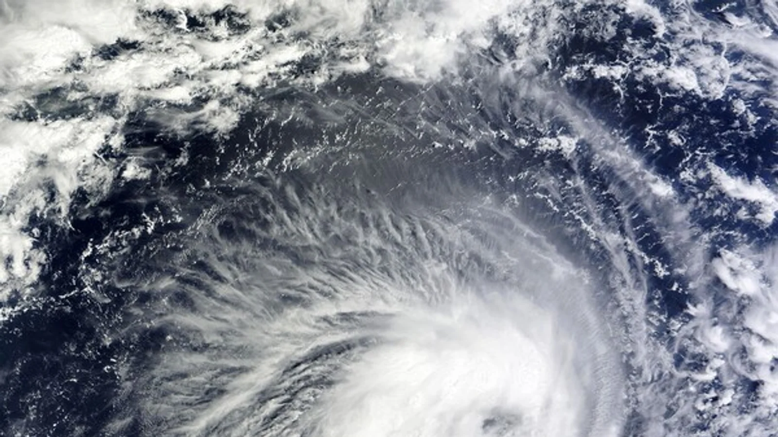
A state of emergency has been issued across East Asian regions, including Taiwan and Japan, as Typhoon Mekkhala, the seventh typhoon of the season, maintains its 'very strong' intensity while moving north. Meteorological authorities have urged the public to pay close attention to future changes in the storm's track and strength.
According to typhoon information released by the Korea Meteorological Administration (KMA) at 10 a.m. on the 23rd, Mekkhala was moving northward over waters approximately 650 km northeast of Manila, Philippines, as of 9 a.m. that day. With a central pressure of 930 hPa and maximum sustained winds near its center reaching 50 m/s (180 km/h), the typhoon is displaying the formidable power of a 'very strong' category.
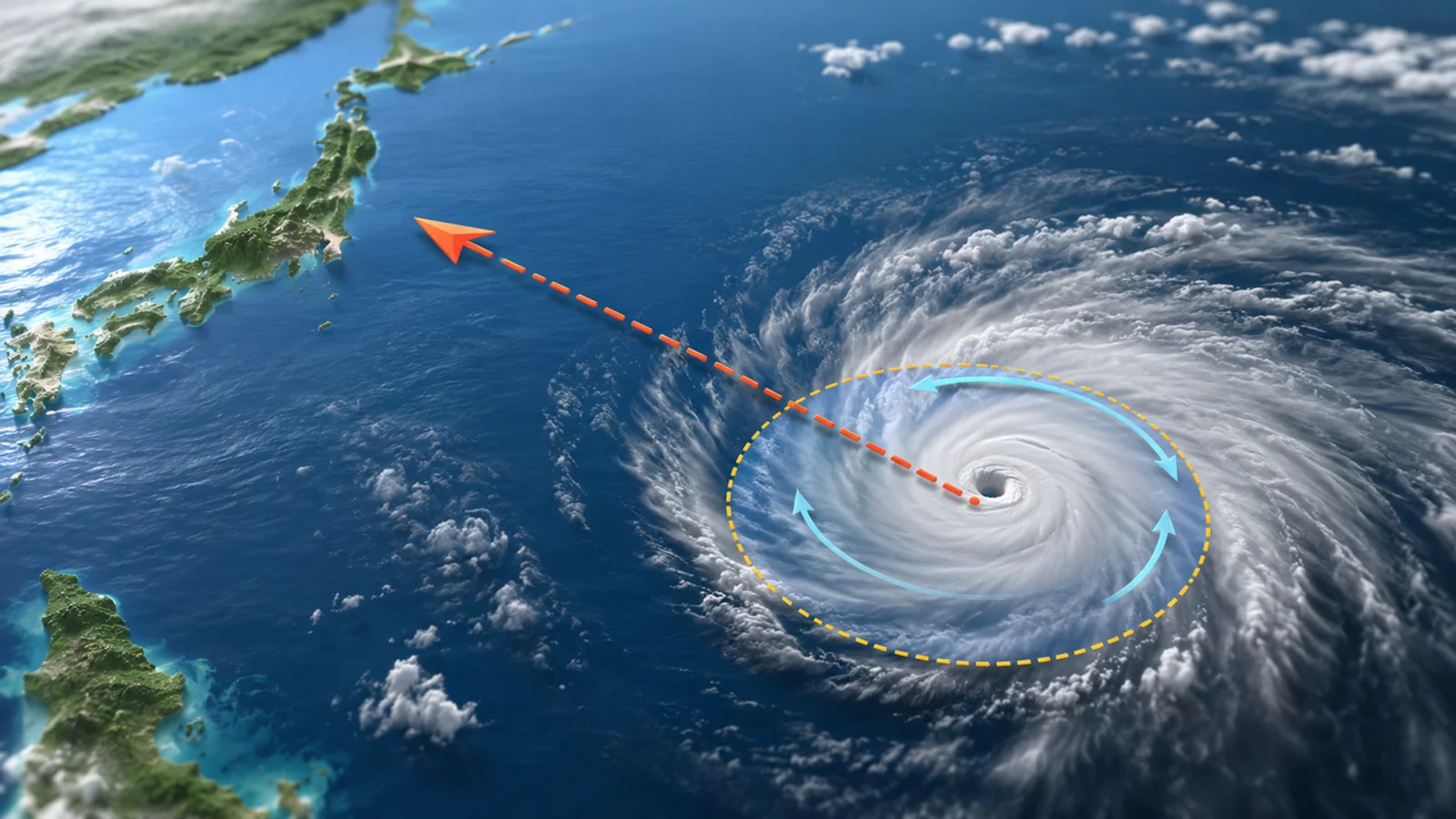
The typhoon is currently tracking northward and is forecast to continue moving northwestward along the western Pacific waters for the time being. Based on its projected path, there is a high likelihood that it will pass through waters near Taiwan before shifting direction to the northeast and heading toward the Japanese archipelago.
The detailed KMA forecast by timeline is as follows:
- Night of the 23rd: Passes waters approximately 680 km south-southeast of Taipei, Taiwan
- Morning of the 24th: Moves to waters approximately 600 km south-southeast of Taipei (central pressure 940 hPa, maximum wind speed 47 m/s)
- Night of the 24th: Advances to waters approximately 520 km southeast of Taipei
- Morning of the 25th: Advances to waters approximately 450 km east-southeast of Taipei (central pressure 960 hPa, maximum wind speed 39 m/s)
- 9 a.m. on the 26th: Approaches waters approximately 120 km southwest of Okinawa, Japan
- Morning of the 27th: Moves to waters approximately 200 km south-southeast of Kagoshima, Japan
- 9 a.m. on the 28th: Moves to waters approximately 230 km east-northeast of Tokyo, Japan (central pressure 990 hPa, maximum wind speed weakened to 24 m/s)
In particular, the typhoon is expected to make its closest approach to waters near Okinawa, Japan, on the 26th, raising concerns about potential damage from strong winds and concentrated heavy rain, primarily in Japan's southern regions. Afterward, the typhoon is projected to move out into the waters east of Japan while gradually weakening in intensity.
The KMA explained that the typhoon's trajectory and intensity may change depending on surrounding atmospheric conditions and pressure system shifts. Accordingly, the agency emphasized that areas potentially within the typhoon's zone of influence should frequently check the latest weather updates and disaster advisories.
[This article was written with AI assistance. Weather Information Advisory: The typhoon's track and intensity may change depending on future weather conditions. Please be sure to check the latest KMA announcements and disaster safety advisories.]
CBC Globe publishes verified stories with editorial review, source checks, and tenant-specific publication standards.
Related Articles
Typhoon No. 8 'Higos' Forms... Heading North Over Waters South of Japan, Low Likelihood of Direct Impact on Korean Peninsula
![[Breaking] Woori Technology Shares Fall After VI Triggered During Trading... Markets Digest Fed Rate Hold and US-Iran Ceasefire MOU Signing](https://media.cbcglobe.com/tenants/cbc00000-0000-4000-8000-000000000001/media/cbc/2026/06/579495/db7c803b9706703b/variants/hero.webp)
[Breaking] Woori Technology Shares Fall After VI Triggered During Trading... Markets Digest Fed Rate Hold and US-Iran Ceasefire MOU Signing